ფაილი:Saint Vincent and the Grenadines relief location map.jpg

ზომა წინასწარი გადახედვისას: 477 × 599 პიქსელი. სხვა გაფართოება: 191 × 240 პიქსელი.
თავდაპირველი ფაილი ((1 060 × 1 332 პიქსელი, ფაილის ზომა: 194 კბ, MIME ტიპი: image/jpeg))
| აღწერა |
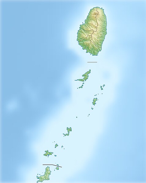
Deutsch: Physische Positionskarte von St. Vincent und die Grenadinen
Geographische Begrenzung der Karte:
English: Location map of Saint Vincent und the Grenadines
Geographic limits of the map:
|
| თარიღი | |
| წყარო |
პირადი ნამუშევარი, using
|
| ავტორი | Carport |
| უფლება (ფაილის მეორეული გამოყენება) |
ეს ნამუშევარი ვრცელდება Creative Commons Attribution-Share Alike 3.0 Unported ლიცენზიით.
|
| სხვა ვერსიები |
|

.svg)
ფაილის ისტორია
დააწკაპუნეთ თარიღზე/დროზე ფაილის დასათვალიერებლად, როგორც ის მაშინ გამოიყურებოდა.
| თარიღი/დრო | მინიატიურა | ზომები | მომხმარებელი | შენიშვნა | |
|---|---|---|---|---|---|
| მიმდინარე | 11:52, 1 იანვარი 2013 | | 1 060×1 332 (194 კბ) | wikimediacommons>Carport | {{Information |Description= {{de|Physische Positionskarte von St. Vincent und die Grenadinen}} Geographische Begrenzung der Karte: * N: 13.42° N * S: 12.44° N * W: 61.7° W * O: 60.9° W {{en|Location map of [[:... |
ბმულები
ამ ფაილზე ბმული მოცემულია შემდეგ გვერდებზე: